Subtotal: $429.83

Subtotal: $429.83
Top picks this week. Up to 50% off the best selling products.
Subtotal: $429.83
Don't miss this special opportunity today.
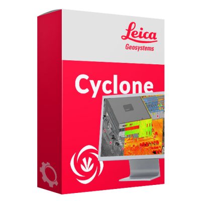
Leica Geosystems offers data management software to meet the needs of any project. LGS files store points, images, GeoTags, measurements, markups, models, and more and can be used in analysis and deliverable creation products.
Showing the single result